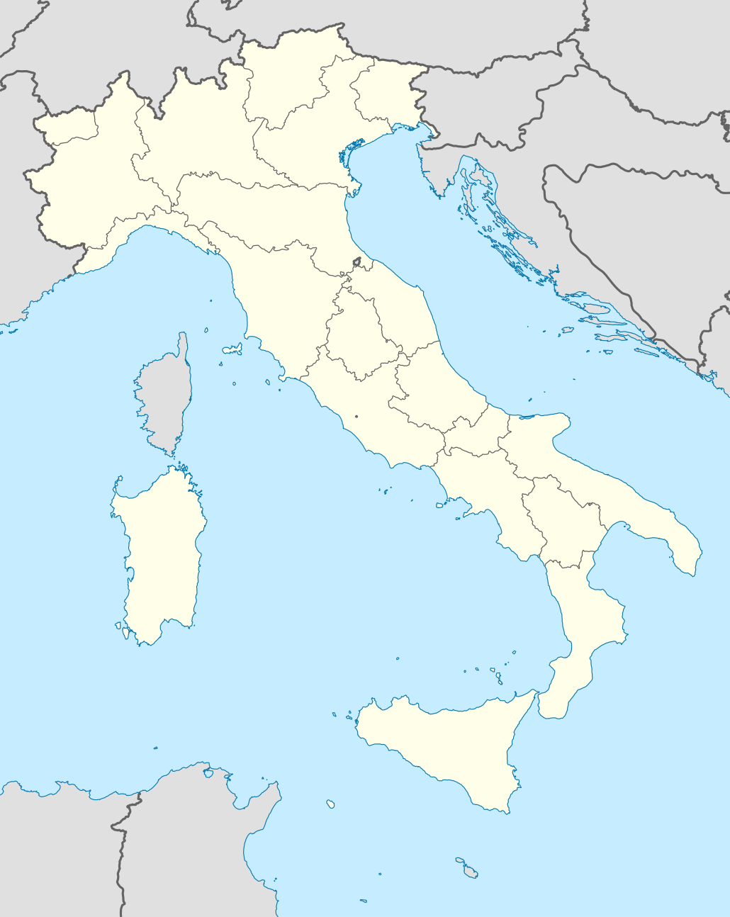
فَیِل:Italy location map.svg

Size of this PNG preview of this SVG file: 477 × 600 پِکسَل. باقی ریزولوشَن: 191 × 240 پِکسَل | 382 × 480 پِکسَل | 611 × 768 پِکسَل | 814 × 1٬024 پِکسَل | 1٬629 × 2٬048 پِکسَل | 1٬030 × 1٬295 پِکسَل
اَصلی فَیِل (SVG file, nominally 1٬030 × 1٬295 pixels, file size: 743 کِلوبایِٹ)
خُلاصہٕ
| تَفصیٖل |
Quadratische Plattkarte, N-S-Streckung 132,898 %. Geographische Begrenzung der Karte:
Equirectangular projection, N/S stretching 132,898 %. Geographic limits of the map:
Proiezione equirettangolare, allargamento N/S 132,898 %. Limiti geografici della mappa:
|
||
| تٲریٖخ | 06-07-2008 | ||
| آگُر | own work, using United States National Imagery and Mapping Agency data | ||
| مُصَنِف | NordNordWest | ||
| Other versions |
Derivative works of this file:
|
||
| SVG genesis |
|


.png)
.svg)
اِجازَت نامہ:
I, the copyright holder of this work, hereby publish it under the following licenses:

|
Permission is granted to copy, distribute and/or modify this document under the terms of the GNU Free Documentation License, Version 1.2 or any later version published by the Free Software Foundation; with no Invariant Sections, no Front-Cover Texts, and no Back-Cover Texts. A copy of the license is included in the section entitled GNU Free Documentation License. |
یَمہِ فَیِلہِ ہٕنٛز لاسَن چھِ Creative Commons Attribution-Share Alike 3.0 Unported تَحَت یِوان۔
- تُہۍ چھِو آزار:
- بٲغراوُن – کٲم نَقٕل، تَقسیٖم تہٕ مُنتَقٕل کَرنہٕ خٲطرٕ
- رِمِکس کَرُن – to adapt the work
- یِمَن شَرطَن تَحَت:
- اِنٛتِساب – You must give appropriate credit, provide a link to the license, and indicate if changes were made. You may do so in any reasonable manner, but not in any way that suggests the licensor endorses you or your use.
- یَکساں-شَرکٔر – If you remix, transform, or build upon the material, you must distribute your contributions under the same or compatible license as the original.
You may select the license of your choice.
فَیِل تَوٲریٖخ
فَیِل وُچھنہٕ باپتھ کٔریو کلک تأریخ/وقت پؠٹھ تاکہِ یہ گژھِ تمہ وقتہٕ ظٲہر
| تٲریٖخ/وَقت | تھمب نیل | پہلوٗو | صٲرِف | کَتھ | |
|---|---|---|---|---|---|
| موجودٕ | 08:46, 19 جوٗن 2021 | | 1٬030 × 1٬295 (743 کِلوبایِٹ) | NordNordWest | upd Marche/Emilia Romagna |
| 06:42, 11 سَتَمبَر 2010 |  | 1٬034 × 1٬299 (1٫42 میگا بایِٹ) | Citypeek | Made one layer of the entire picture. Better for adding new stuff. | |
| 09:58, 22 اَگَست 2009 |  | 1٬034 × 1٬299 (1٫4 میگا بایِٹ) | Actormusicus | updating borders after important variation (http://www.gazzettaufficiale.it/guridb/dispatcher?service=1&datagu=2009-08-14&task=dettaglio&numgu=188&redaz=009G0127&tmstp=1250276942469) | |
| 12:38, 6 مٔیی 2009 |  | 1٬034 × 1٬299 (1٬012 کِلوبایِٹ) | NordNordWest | corr | |
| 18:27, 12 مارٕچ 2009 |  | 1٬032 × 1٬267 (1٬009 کِلوبایِٹ) | NordNordWest | corr | |
| 16:30, 6 جُلَے 2008 |  | 1٬032 × 1٬267 (1٬010 کِلوبایِٹ) | NordNordWest | {{Information |Description= {{de|Positionskarte von Italien}} Quadratische Plattkarte, N-S-Streckung 130 %. Geographische Begrenzung der Karte: * N: 47.4° N * S: 35.3° N * W: 6.2° O * O: 19.0° O {{en|Location map of Italy |
فَیِلٕ ہُند اِستِعمال
یِم 2 صَفہٕ چھِ اَتھ فَیِلہِ اِستِمال کَران:
فَیِلہٕ ہُنٛد عالمِی اِستِمال
دِنہٕ آمٕتیٚو باقٕی وِکیٖیَن منٛز چھےٚ یہِ بٕہی استعمال سپدان:
- ab.wikipedia.org پؠٹھ استعمال
- af.wikipedia.org پؠٹھ استعمال
- als.wikipedia.org پؠٹھ استعمال
- Rom
- Palermo
- Mailand
- Pisa
- Alagna Valsesia
- Florenz
- Parma
- Neapel
- Issime
- Rimella
- Formazza
- Macugnaga
- Rima San Giuseppe
- Alatri
- Ancona
- Lucera
- Vorlage:Positionskarte Italien
- Ravenna
- Genua
- Carcoforo
- Gaby (Aostatal)
- Predore
- Benutzer:Holder/Test Italien
- Syrakus
- Siligo
- Bari
- Venedig
- Salerno
- Orvieto
- Bolsena
- Bologna
- Tarquinia
- Allein (Aostatal)
- Antey-Saint-André
- Aosta
View more global usage of this file.